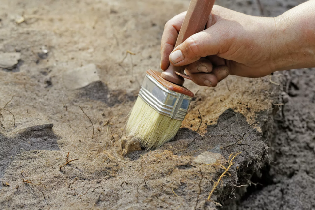
Archaeologists of Vyatka State University have discovered fragments of ceramic dishes, tiles and glass of the XVIII-XX centuries on the territory of previously untouched areas of the cultural layer of the city of Kirov
According to them, the discovery of a section of the cultural layer will clarify the time and nature of the formation of settlements in the 17th century, and will also help in the accumulation of materials for an archaeological map and organization of management of the cultural heritage of the region, the press service of the university reported.
In the middle of the 15th century, a kremlin was built on the territory of modern Kirov, and from that time in the annals the city began to be called Khlynov. In 1489, the Vyatka land joined the Moscow state. In the 16th century Khlynov became a major trade center. Trade routes to Pomorie, the Volga region, the Urals, Siberia passed through it. In 1780, the city of Khlynov was renamed Vyatka, since 1797 it became the center of the Vyatka province. Stone construction of churches and civil buildings was actively carried out in the city. In 1934 the city was renamed Kirov.
Today Kirov is one of a rare number of cities that do not have a protected archaeological zone, said scientists at Vyatka State University. The place where the finds were found (a small area covered with construction waste from the demolition of old houses) is located in the central part of Kirov at the intersection of Herzen Street, Volodarsky and Kopansky Lane. This piece of land is located behind the posadsky rampart of the town of Khlynov in the Vladimirskaya Slobodka.
In the course of the exploration carried out by the Vyatka State University and LLC "Expedition", a section of the Khlynov-Vyatka cultural layer of the 18th-20th centuries was included in the list of identified objects of cultural heritage. Scientists have found there a large amount of pottery, mica, fragments of window and bottle glass, bottle necks, fragments of glass damasks, tiles, door hinges, buttons, an iron hook and a coin. According to the researchers, the cultural layer helped to date the stamp-medallion of the Château-Margot bottle in the 1840s.
It is important to note that despite the discovery of objects of the XVII-XVIII centuries (mica) in the layer of construction waste, we cannot take the XVII century as the lower boundary of the dating of the new archaeological monument, due to the finding of these objects in the layer of construction waste, which, during its formation, destroyed and mixed the cultural layer. Brown sandy loam with a thickness of up to 65 cm can be distinguished as an undisturbed cultural layer. The layer of construction waste is also rich in archaeological objects, -
said the head of the laboratory of archaeological research at Vyatka State University Alexei Kaisin.
Scientists are currently preparing for further archaeological study of the site. In their opinion, the identification of objects of protection on the territory of the city is an important event: the registration of a site of the cultural layer will lead to its further study, which will clarify the time and nature of the formation of settlements around the settlement of Khlynov in the 17th century.
In addition, the laboratory of archaeological research of the university is engaged in scientific research of the monuments of the early Iron Age, Chizhevsky and Nagovitsinsky settlements on the territory of Kirov. Scientists are also collecting materials for an electronic archaeological map of the Kirov region, which will help solve the problems of organizing the management of cultural heritage and carry out predictive modeling of the spatial distribution of archaeological sites of different eras and cultures.
To date, the laboratory staff has prepared a unique "Geographic Information System (GIS) of the archaeological study of Kirov", where for the first time in one place data on all archaeological works carried out on the territory of the city are collected. Using the filters, it will be possible to track information about the time of work, authors, area and other data. This GIS will be open for free access on the website of Vyatka State University.
Vyatka State University trains archaeologists under the History bachelor's program. Students learn to analyze socially significant problems and processes, use the methods of the studied sciences in various types of professional and social activities. During their studies, they undergo ethnological, museum, archival and pedagogical practice.

Оur university
Finds of the 18th century will help scientists create an archaeological map of Kirov
- 17 August 2021, 20:26
- Author: admin
- Views 5558